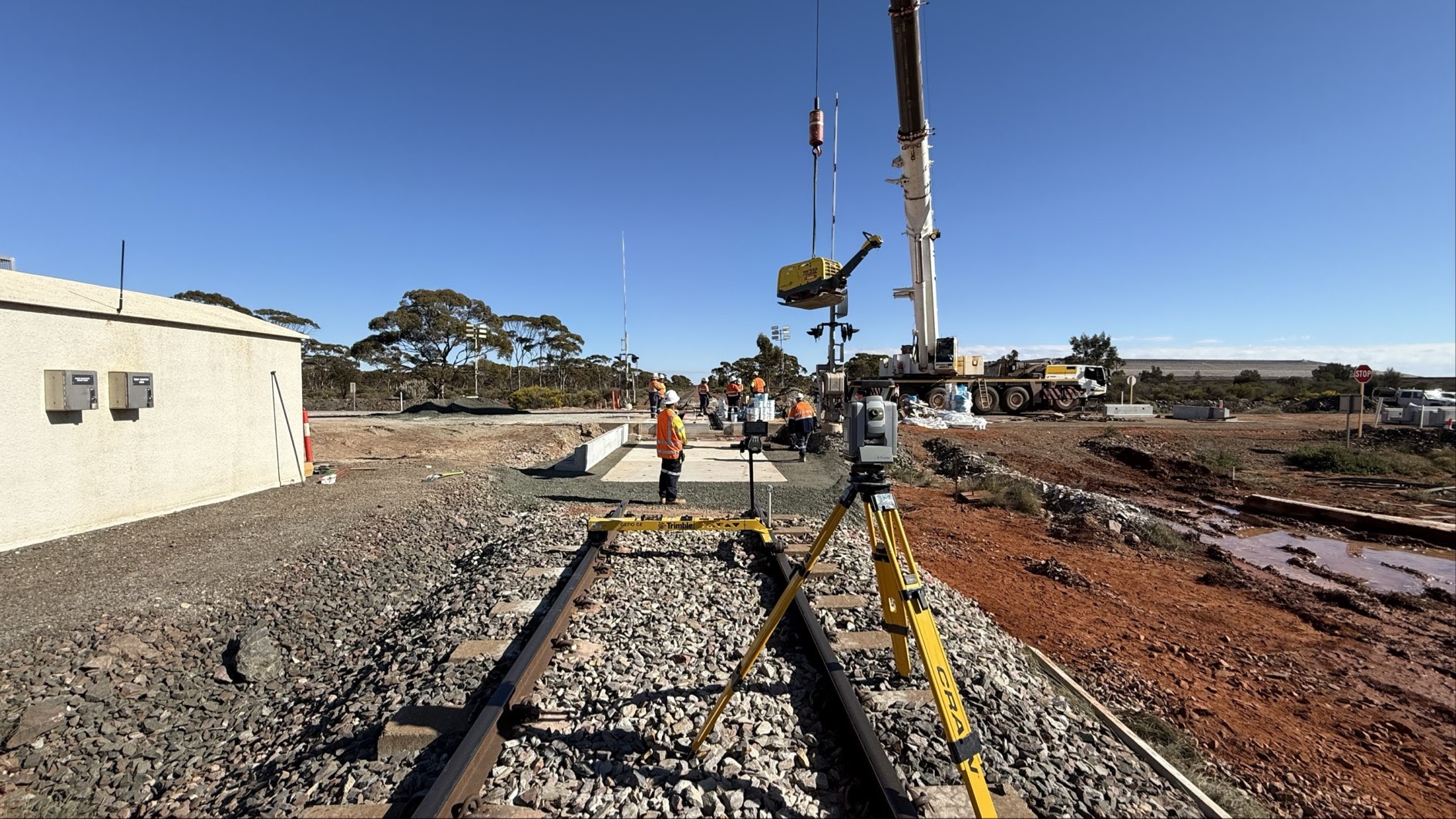
UAV Aerial Mapping & Drone Surveys
High-precision UAV drone surveys providing detailed aerial imagery and accurate topographic mapping for comprehensive site analysis.
- High-resolution orthomosaic imagery
- Accurate topographic mapping
- Volumetric calculations
Learn More